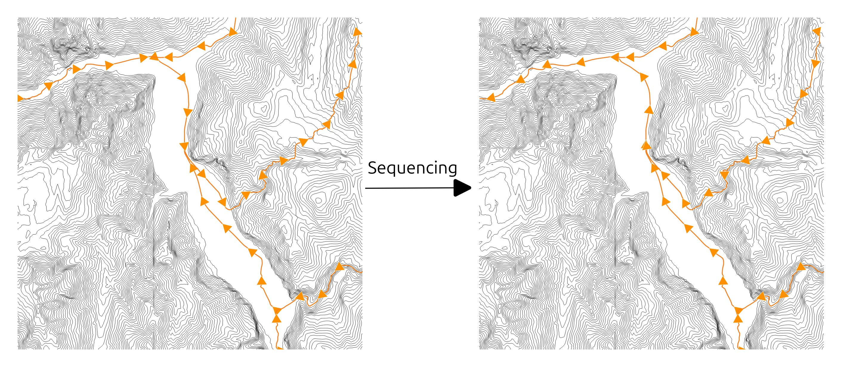
Sequencing
Summary
Check and correct ordination and orientation of a stream network using a DEM.
Tags:hydrography, ordination, orientation, network, polyline, dem
Usage
Mutliscale characterization of fluvial system is based on fluvial linear such as the hydrographic network or the centerline network (Roux et al., 2014)1. To ensure a consistent process, one of the necessary conditions is that networks must be (i) oriented, (ii) connected and (iii) relevant of the in-field configuration. Sequencing tool aiming at ordering and, if it is needed, flipping streams of a network, to ensure :
- a good flow direction from upstream to downstream.
- a good ordination of streams in order to spatially and hierarchically located them within a network.

If you don’t have a DEM, you can use the Fix Link Orientation algorithm with the selected node or dangling node method.
Algorithm:
run Identify Network Nodes algorithm with input lines
run Drape algorithm with identified nodes and input DEM
run Check/Fix Link Orientation algorithm with draped nodes and identified lines
Parameters
| Parameter | Description | Type |
|---|
See Also
-
Roux, C., Alber, A., Bertrand, M., Vaudor, L., & Piégay, H. (2014). “FluvialCorridor”: A new ArcGIS toolbox package for multiscale riverscape exploration. Geomorphology. https://doi.org/10.1016/j.geomorph.2014.04.018 ↩

