Inflection Disaggregation (Morphometry)
Summary
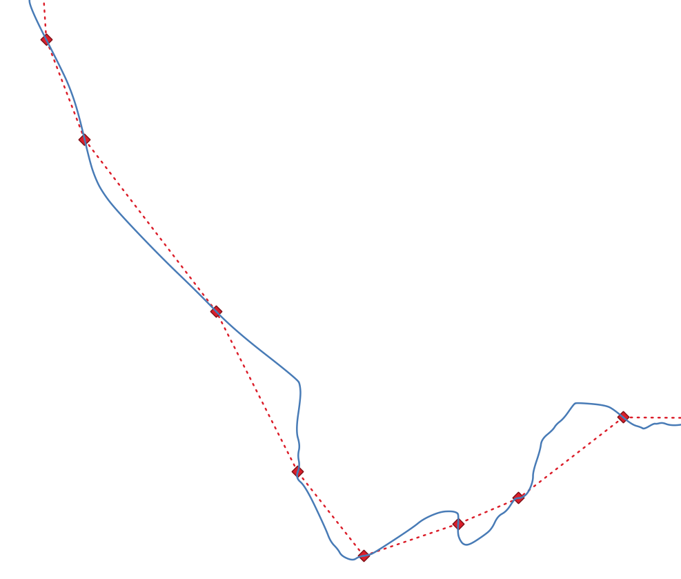
Disaggregate input polyline on inflection points and calculate bendlength, wavelength, sinuosity, amplitude, omega0 and omega1 of each disaggregated segment. Return also attributed inflection points and inflection lines.
Tags:hydrography, sinuosity, inflection, centerline, polyline, disaggregation, longitudinal profile, morphometry, metrics
Usage
In order to characterize fluvial corridors thanks to a set of metrics, it is necessary to create entities which do not necessarily have a physical reality (Roux et al., 2014)1. It is the case of the inflection line, used during a set of planimetric metrics assessment such as the streamline sinuosity or the half-amplitude of bends. The inflection line of a curve is defined as the line passing through its inflection points.
This workflow simplyfy and smooth the input network, then extract inflection points. If you prefer to use the raw network without simplification, use the Planform Metrics algorithm directly.

Algorithm:
run multipart to singlepart on network
simplify network (Douglas-Peucker method) by simplify offset parameter
smooth network
run Planform Metrics algorithm
Parameters
| Parameter | Description | Type |
|---|---|---|
Input sequenced network
INPUT
|
Linear features on which the inflection lines and inflection points are extracted. Can be a unique LineString or a full network | LineString or MultiLineString |
Simplification offset
SIMPLIFY
|
Threshold used to ignore small fluctuations and noise (in map unit)
Default value: 10.0
|
Number |
Maximum distance between inflection points
MAX_DISTANCE
|
Maximum distance between two inflection points (in map unit)
Default value: 200.0
|
Number |
Minimum amplitude
MIN_AMPLITUDE
|
Minimum amplitude of a bend to be considered (in map unit)
Default value: 10.0
|
Number |
Maximum angle to consider a point as inflection
MAX_ANGLE
|
Maximum angle to create an inflection point (in degrees)
Default value: 50.0
|
Number |
Ouput inflection points
OUTPUT_POINTS
|
The output inflection points | Points |
Ouput inflection lines
OUTPUT_LINES
|
The output inflection lines | LineString |
Ouput disaggregated network
OUTPUT_DISAGGREGATED
|
The output disaggregated line features | LineString |
See Also
-
Roux, C., Alber, A., Bertrand, M., Vaudor, L., & Piégay, H. (2014). “FluvialCorridor”: A new ArcGIS toolbox package for multiscale riverscape exploration. Geomorphology. https://doi.org/10.1016/j.geomorph.2014.04.018 ↩

-blue?style=social&logo=github)